Tuesday, May 22, 2012

National Maritime Day


USDOT Maritime Administration
May 22nd is National Maritime Day, first declared so by Congress in 1933.

On all the oceans
White caps flow
You do not see crosses
Row on Row
But those who sleep
Beneath the sea
Rest in Peace,
For your country is free.

Poetry

Sunday, May 20, 2012

Schooner Virginia makes her 2012 Debut

http://oldetownephotos.blogspot.com/2012/05/schooner-virginia-makes-her-2012-debut.html

I will be posting updates and more photos. Click on the link above to take you to my main blog for other links.

The Schooner Virginia made her debut this afternoon, despite schooner weather that seems to always accompany her. I will be editing this post as more information becomes available. Enjoy the photos.

http://www.facebook.com/#!/media/set/?set=a.3955922459798.316380.1332321700&type=1

http://www.flickr.com/photos/oldetownephotos/sets/72157629820508528/with/7236967584/

http://schoonervirginia.org/index.php


Click here for Claire Trego Goodwin's onboard FB photos

Wednesday, April 18, 2012

Solo The Americas

from: Mike McLinn who donated and maintained the website dedicated to this fantastic voyage. 

Matt Rutherford is the first person to solo, nonstop circumnavigate both North America & South America! He sailed over the Chesapeake Bay Bridge Tunnel at 10:48 EST this morning, crossing his original track and completing his challenge!
Matt’s plan is still to make his first landfall this Saturday the 21st of April at noon in Annapolis. Anyone and everyone is invited to help welcome him home.
Congratulations to Matt!


http://www.solotheamericas.org/?author=3

Wednesday, February 29, 2012

Tall Ships

Navigating the Tall Ships was never so easy!

Ahoy there! Our Tall Ships App learns you all there is to know about the adventurous world of Tall Ships. These giant sailing ships used to rule the waves as cargo vessels. Nowadays they’re mainly used as training or passenger ships and they've millions of fans all over the world. If you're one of them, try out this new app and find out more about these beautifull ships. Welcome on board!

Tall Ships App for iPhone

Thursday, February 16, 2012

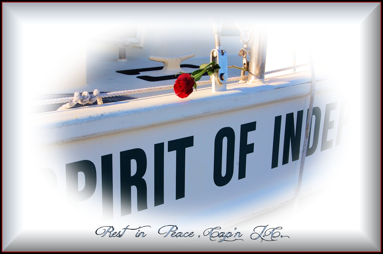
Joseph (J.C.) Waters - A Sailor's Sailor


There's a New Star in the Heavens tonight to guide our ship by.  Fair Winds, Cap'n.  See you on the other side.


Some of my favorite times aboard the "Spirit of Independence."
http://www.flickr.com/photos/oldetownephotos/collections/72157624880175110/


From Joe Elder's Blog "Skipjack's Nautical Living".  Thanks, Joe.
http://skipjacksnauticalliving.blogspot.com/2012/03/memorial-tribute-to-captain-jc-waters.html#links


Friends of J.C. Waters gather at Swimming Pt. Walk to pay respects and share stories at the Memorial Tribute to celebrate his life. 


A Sailor is an Artist, whose medium is the Wind.
Larger Image at:

Larger Image at:
http://www.flickr.com/photos/oldetownephotos/6893799649/

==========================================
Jim Dyson FB Tribute
==========================================


The haunting and soulful lament on the bagpipes is an emotional tribute, 
and at the same time celebrates the life of a loved one.  (Susan May Heely, piper)
===================================================================

Wednesday, June 8, 2011

Mile Marker '0' Marine Supplies Ready To Serve Boaters

http://hamptonroads.com/2011/06/mile-marker-0-marine-supplies-ready-serve-boaters

From David Cartier's Blog - What's New in Olde Towne announcing Portsmouth's newest business, Mile Marker 'O' Marine Supplies at # 1 High Street, Portsmouth VA.

Robert McBride believes customer service is the key to a successful business.  Maybe that's why he has created so many services geared to his new customers at Mile Marker '0' Marine Supplies.  His full-service marine supply business opened yesterday at One High Street Landing in Portsmouth.

Click on the TITLE or the link for the rest of the story.

Mile Marker '0' Marine Supplies, One High Street, Suite A, Portsmouth, VA 23704. Hours: Monday thru Friday 9 a.m. to 6 p.m. Saturday & Sunday 7 a.m. to 6 p.m. 757.618.8885. Email: Milemarker0@cox.net

Tuesday, April 5, 2011

Chesapeake Bay

There was a query on the Chesapeake Bay Bloggers Facebook page and in their blog the other day that required me do some research.  When I browse the Internet, I always get side-tracked or find more new sites that I hadn't seen before.  Sometimes I forget what I was originally looking for.  Oh sure, you've never done that.  Anyway, here's the post that was on FB.  I misunderstood the question, I think, but it opened doors and I learned a lot about the Chesapeake Bay and the rivers that feed it.

Play the Chesapeake History Game

Landing From Deep Landing on the Chester River and Kingston Landing on the Choptank to Leedstown on the Rappahannock and Walkerton on the Mattaponi, many of the sites of seventeenth-century Indian villages, eighteenth-century colonial towns, and nineteenth-century steamboat wharves lie on the outsides of curves in the Chesapeake's tidal rivers.  What is the reason for this consistent pattern?  The first reader to enter the correct answer as a comment below will win a free Chesapeake Bay Foundation T-Shirt.  Rattle your keyboards...go!

The photograph above shows the launch ramp and dock at the Clyde Watson Boating Area of the Patuxent River Park, in southeastern Prince George’s County, Maryland. But a quick look through the Chesapeake’s rivers on Google Earth will reveal a hundred or more sites like this one in both Maryland and Virginia.
In his 1612 map, Captain John Smith showed the Indian village of Pecatamough here.  In colonial times, many a hogshead of tobacco got shipped to England from here, and Samuel Magruder’s Ferry carried people and goods across the Patuxent to Lower Marlboro.  In the early twentieth century, Clyde Watson’s father served as the steamboat agent for the commercial wharf whose ruins lie fifty yards upriver from here.  This public launch facility now honors Clyde, a longtime farmer, waterman, community leader, and advocate for the park who died in 1994.
Through the centuries, sites like Magruder’s Ferry on the outsides of curves in the Chesapeake’s rivers have served human needs very well.  What is the reason for this?
By John Page Williams
Bay Daily - Blog of the Chesapeake Bay Foundation

I thought John meant, "Why did the rivers flow the way they do ?"  ( I blamed it on a meteor that landed in the Bay many years ago.  I don't think anybody took me seriously.)  He might have meant, "Why were the villages on the outside curve of the river ?"  What ever the question was, here are some links with a lot of information on the Chesapeake Bay that you probably never knew.  I was enlightened.

Impact Crater Study

http://www.dnr.state.md.us/bay/monitoring/mon_mngmt_actions/preface.html

http://www.uwsp.edu/geo/faculty/ritter/geog101/textbook/fluvial_systems/channel_geometry_and_flow.html

http://ian.umces.edu/blog/2010/04/02/chesapeake-literacy/

http://tenaya.ucsd.edu/~dettinge/ghcdn.pdf

http://www.fws.gov/chesapeakebay/pdf/Piedmont.pdf

http://www.chesapeakebay.net/riverflow.aspx?menuitem=14714

http://www.chesapeakebay.net/maps.aspx?menuitem=15145

http://md.water.usgs.gov/waterdata/chesinflow/